GeoWatch is a production-ready, open-source platform for discovering, analyzing, and monitoring critical infrastructure worldwide using OpenStreetMap data.
Search 200+ infrastructure types across 30+ categories — power plants, telecom towers, airports, military bases, hospitals, data centers, and more — with a powerful NLP-driven query engine and real-time map visualization.

Built for analysts. Powered by open data. Free forever.
How It Works
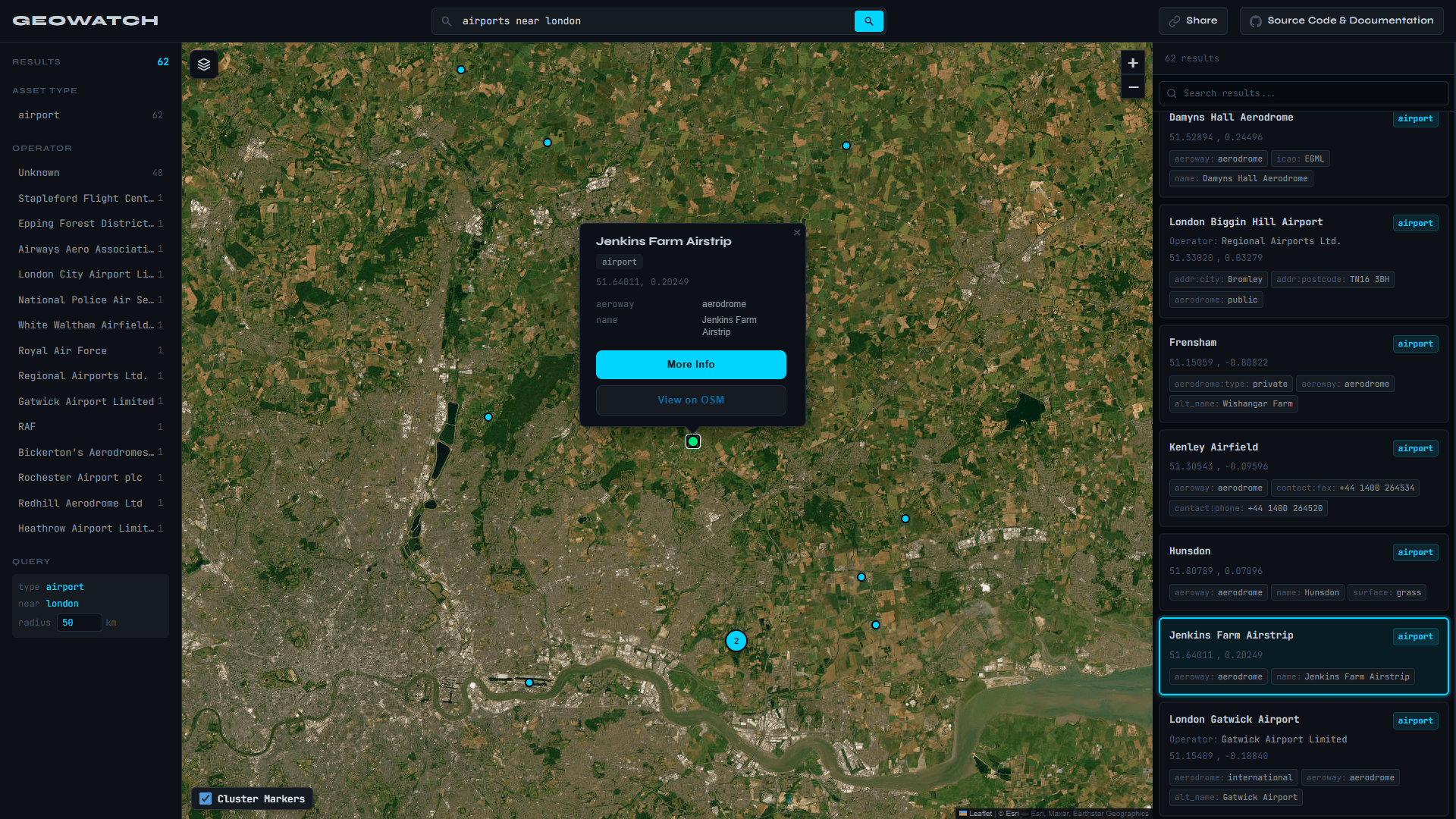
Type a natural language query like "airports near london" or "power plants in texas" and GeoWatch resolves your location via Nominatim, fires a structured query at the Overpass API, and renders clustered results on an interactive Leaflet map — typically in under 1.5 seconds. Results are cached in-memory for fast repeated lookups.
Features
- 🔍 NLP Query Engine — Natural language and structured query syntax (
type:telecom operator:vodafone region:bavaria) with real-time autocomplete - 🗺️ Interactive Map — Leaflet.js with marker clustering, global coverage, live result pins
- ⚡ Smart Caching — In-memory cache with ~40–60% hit rate on repeated queries
- 📊 Advanced Filtering — Filter by asset type, operator, region, country, and radius
- 🌐 200+ Asset Types — Energy, telecoms, aviation, maritime, military, healthcare, government, and more
- 📱 Dark Neo-Brutalist UI — Fully responsive, built with Tailwind CSS
Tech Stack
- Next.js 15
- React 19
- TypeScript
- Tailwind CSS
- Leaflet.js
- Overpass API
- Nominatim
Use Cases
- Infrastructure analysis
- Emergency planning ·
- Telecom network planning
- Academic research
- Utility management
- Government intelligence